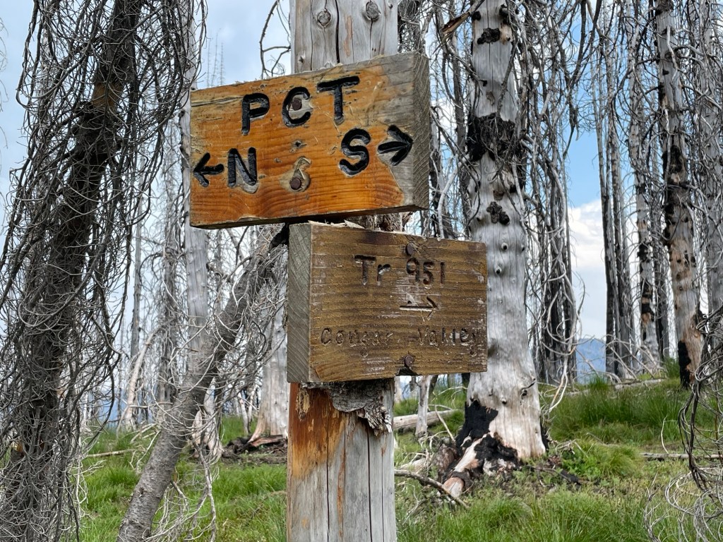
I was hunting around for a day hike to get me away from the Lower Columbia Basin’s triple-digit heat. I noted that the last trip report at the Washington Trail Association’s web page was five years ago, and I decided that I’d check this hike out. Several years ago, I hiked from Chinook Pass to Tacoma Pass along the Pacific Crest Trail; this trail’s junction with the PCT is in along that section. That always piques my curiosity.
In addition to the age of the most up-to-date information I had access to, planning was complicated by the fact that AllTrails & the WTA only describe the trail as existing to the junction with the Cougar Valley Trail – 1.7 miles. I have the USGS 7&1/2 map for this area, so I could get a vague idea of the elevation gain and loss, but it really was a vague estimate. In other words, this day hike was an adventure.
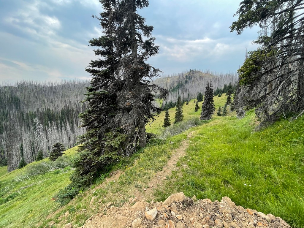
The hike starts at almost 6000′ elevation, so one has views to the surrounding ridges from the get-go. The day was hazy & cloudy, and that limited the views I saw. All I could see of Tahoma was his lower flanks, but I could tell that on a clear day the view would be stunning. In addition to the clouds, the air temperature at the trailhead was in the mid-70s. I felt a few sprinkly raindrops while I was packing up. Mid-70s & a bit of soft rain? That sounded heavenly to this desert rat.
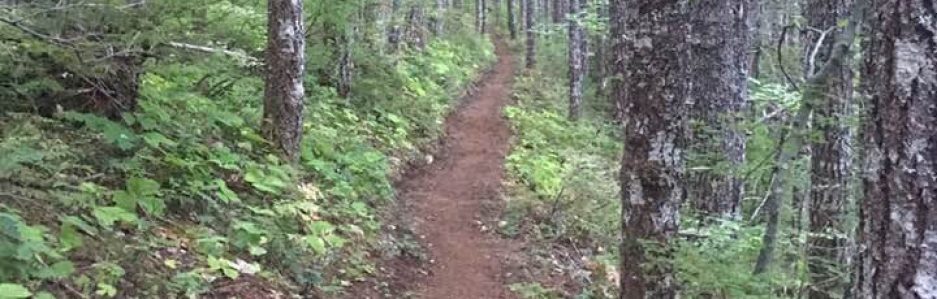
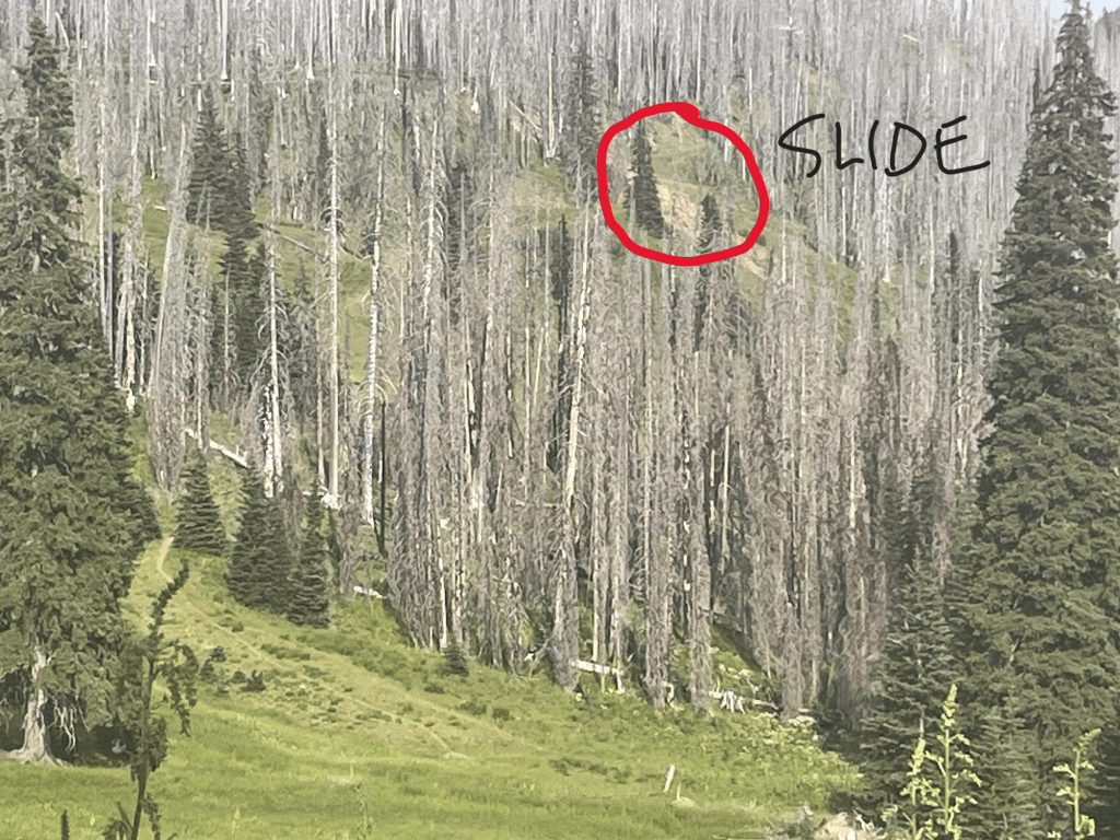
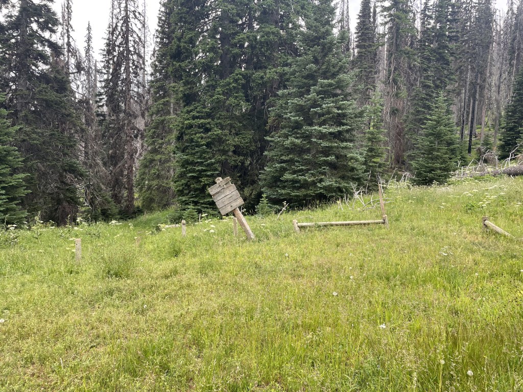
The trail follows an old roadbed to the junction with Cougar Valley Trail. There’s a landslide that’s wiped out part of the trail. At the trail junction, there’s an obvious trail leading to the left. That’s the Cougar Valley Trail — the Raven Roost Trail has been obliterated. I followed a game trail/boot path through some thigh-high vegetation and soon found the trail again. This area was burned in the Norse Peak fire in 2017. The trail is rough in spots and it occasionally vanishes. But it’s easy-enough route finding.
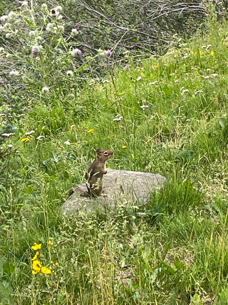
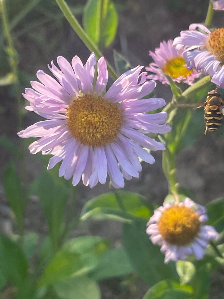
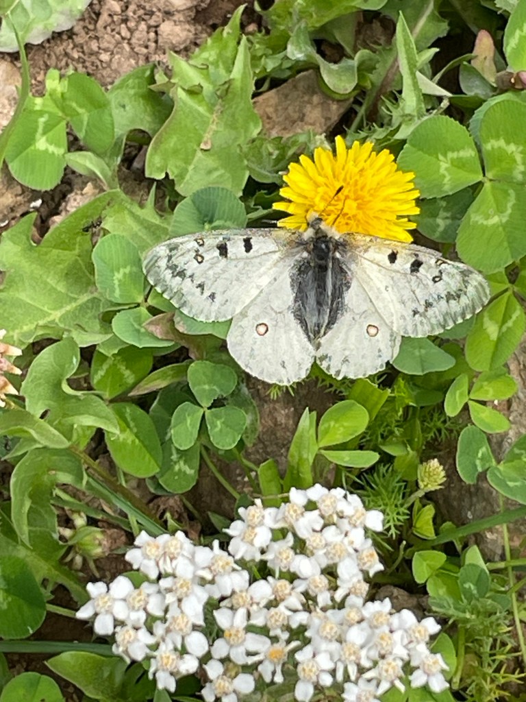
I had the trail to myself. Given that this was a Sunday afternoon, that’s not terribly surprising. The only other mammals I saw were lots of chipmunks and one very noisy marmot. There were lots of flowers & buzzy insects buzzing around them. And strawberries – so many strawberries!

This trail was tougher than I expected, but that may be due my self-delusion about how unfit I am. It’s worth doing again, though – seven-ish miles with 2100′ of elevation gain & loss is a good training hike. I’m plotting doing this as a loop with the Cougar Valley Trail & the PCT. That’s about 19.5 miles with 4760′ of elevation gain. I’ll definitely go back.