I did this hike back in mid-August. I thought I’d written a post about it; if I did, it’s vanished. Given my ambivalence about the hike, I wouldn’t be surprised if I wrote a post and then the post vanished out of shame.
To say this hike did not go as planned is an understatement.
I set myself up to have a not-great experience. First, I spend the weekend volunteering at Pacific Crest Trail Days in Cascade Locks, Oregon. I drove down Friday. My initial plan was to camp somewhere up in the forest. I found a place on the map that was about an hour away. Instead, I decided to take advantage of the offer of free camping on the island. This turned out to be a horrible idea.
Cascade Locks is along the Columbia River. A train runs through the town; its tracks lie between Marina Park and the road. Another train track lies on the Washington side of the river. That track proved to be my downfall. A train rolled by several times during the night. Each time, it blew its whistle at just east of where I was. The gap between Thunder Island and the Washington side of the Columbia is about a third of a mile, but there is nothing between them to block the sound. And oh how loud that was … I got very little sleep Friday night.
The next night, I decided to break the rules and sleep in my truck. It was very explicitly stated that camping was NOT allowed in the parking area, but I figured it was worth the risk of getting caught because I was unwilling to try to sleep on the island again. There were several Class B motorhomes in the parking area, and I’m pretty confident there were people sleeping in them as well. I figured as long as I was quiet & discreet it wouldn’t be an issue.
No one knocked on my windows overnight, but I didn’t sleep well in the truck, either. That morning, my volunteer shift for PCT Days was cleaning up the grounds. Once it was over, I met up with a few thru hikers seeking a ride to Walupt Lake, and off we went.
Because of the Williams Mine Fire, the shortest route to Walupt Lake was closed. (We had to drive up I-5, then head east on Hwy 12.) I started my hike at about 4 p.m. It’s August, so at least there’d be enough daylight for me to hike a few of the 29 miles between Walupt Lake to White Pass.
I felt like I was racing daylight to get to Sheep Lake. I found a good campsite & got settled in before dark. I was near a large group, and I initially feared they’d be noisy; I late realized they were a trail crew — they were too tired to be noisy!
First day’s stats: 5 miles, 2250′ elevation gain, average pace 40min/mile.

I got kind of slow start to the next day, but give how badly I needed to recover from a few days of poor sleep I can’t fault my body for being slow. And ohmigawd was I slow! I hoped to get up & over Old Snowy on this day. That was a reasonable-enough goal in that the hike was just 13 miles, but the elevation gain & loss over those 13 miles was significant: 3085′ up, 3490′ down. In retrospect, that was asking too much of my body, but I was surprised by how slow I was all day.
The day brought some delights, though. Just before the Cipsus Pass, the PCT traverses a section of the Yakama Nation. The old Cascade Crest Trail avoided trespassing on the Yakama Reservation, but the PCT was routed to the east side of this ridge. I can understand why: the trail through this section of the Yakama Nation is gentle, while the old CCT was longer and appears to have gained & lost more elevation. I recognize the PCT has an easement through this area, and it only crosses Yakama Nation land briefly. But given the time when the PCT was being finalized, I am not confident the powers that be engaged in the “meaningful consultation” with Indigenous groups the law requires. We should have.
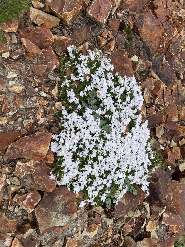
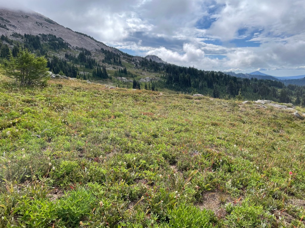
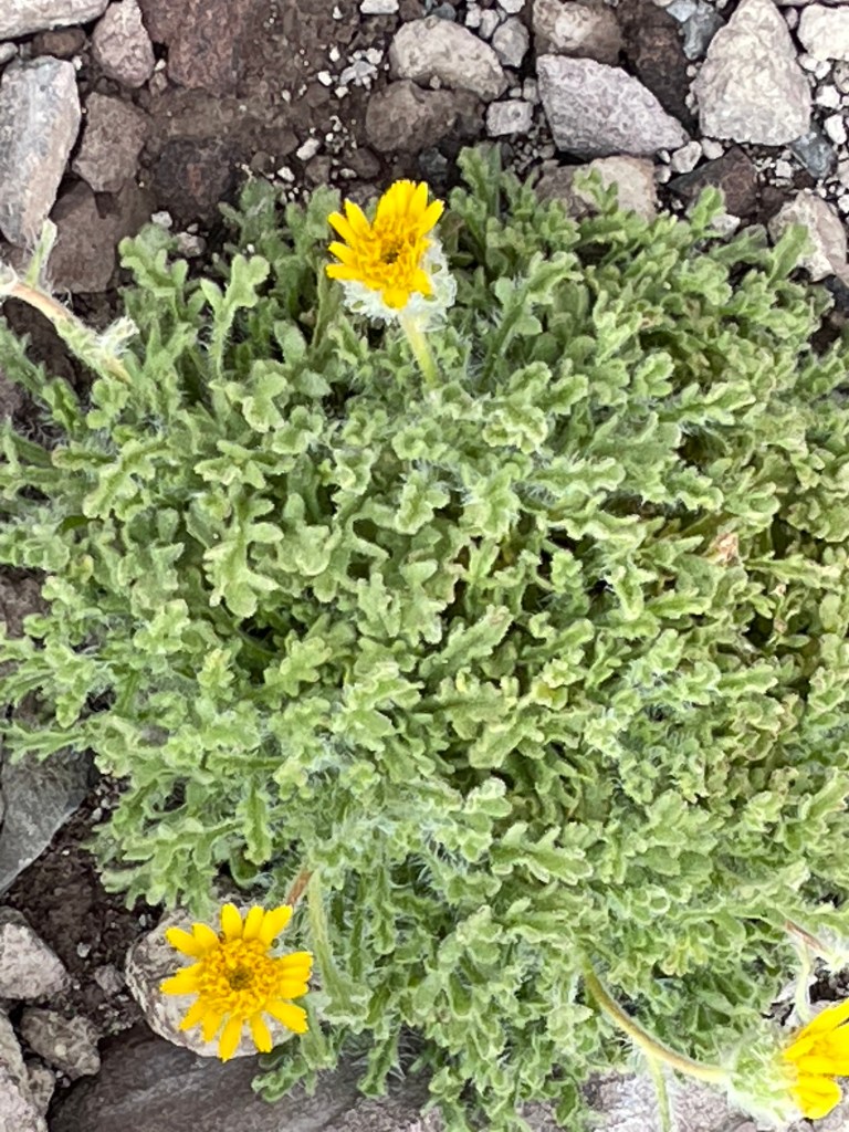
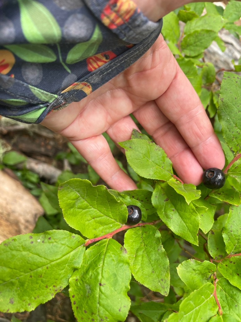
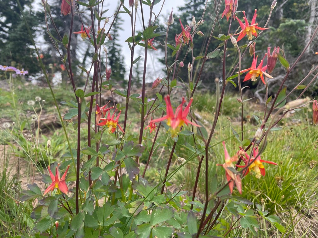
I was struck by the beauty of this wee slice of the Yakama Nation. The trail crosses the head of a valley that includes the headwaters of the Klickitat River. Despite the relative lateness of the season, the area had lots of flowers. I was enchanted with the rock formation that marks the western edge of reservation.


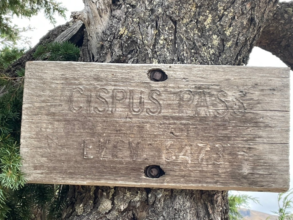
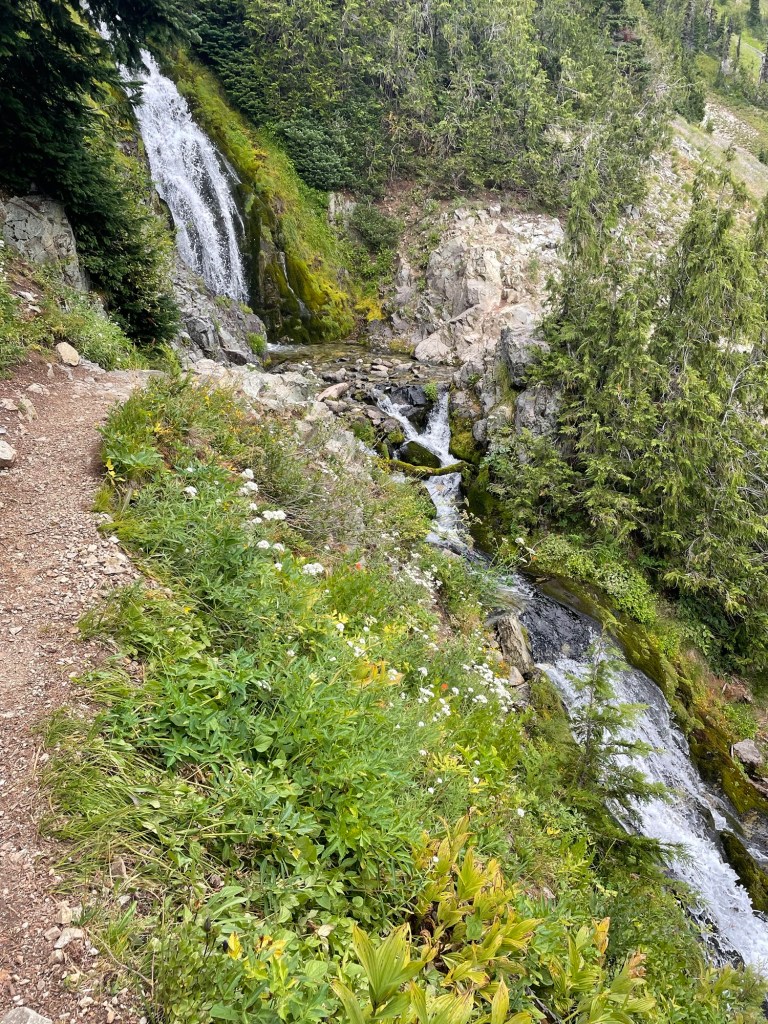
After leaving Cispus Pass, the PCT wends through the Cipsus Basin. It’s lovely! I suspect the views are lovelier if one’s hiking SOBO, but I was happy to walk slowly through it.


I started the day hoping to make it well past Old Snowy before camping, but I wasn’t even close. The FarOut app didn’t show any water sources along the trail through Snowgrass Flat, and I didn’t want to risk having to push myself too far to get to water. Comments in that area noted that there is water, but I wasn’t thinking of that at the time. I stopped a little earlier than I’d planned at a large camp area at the junction with the Bypass Trail. It was a mile past the last water source along the trail in the Cispus Basin. I figured I’d hike back to it first thing in the morning without my full pack. The day’s mileage: 4.4 miles. 😔
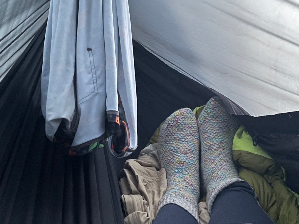
The camp area was a great set-up for horse packers. Thus, the areas that worked best for a hammock had a fair amount of manure. 🤢Fortunately, I don’t have much of a sense of smell. (It’s rarely a curse, and it’s almost always a blessing.)

I knew I needed to pick up the pace the next day, as I’d only have one more day after it to get to White Pass. I knew that I could use my satellite communicator to notify the office if I needed another day off, but I really didn’t want to do that.
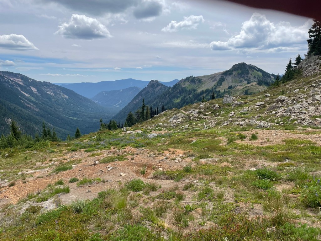
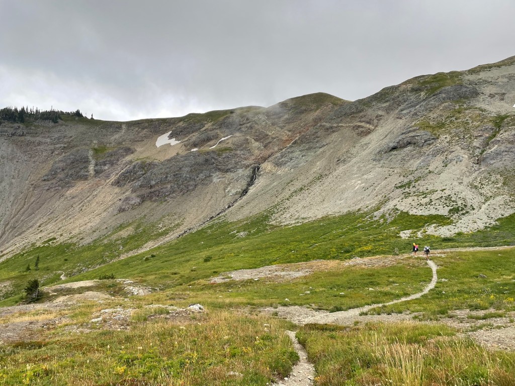
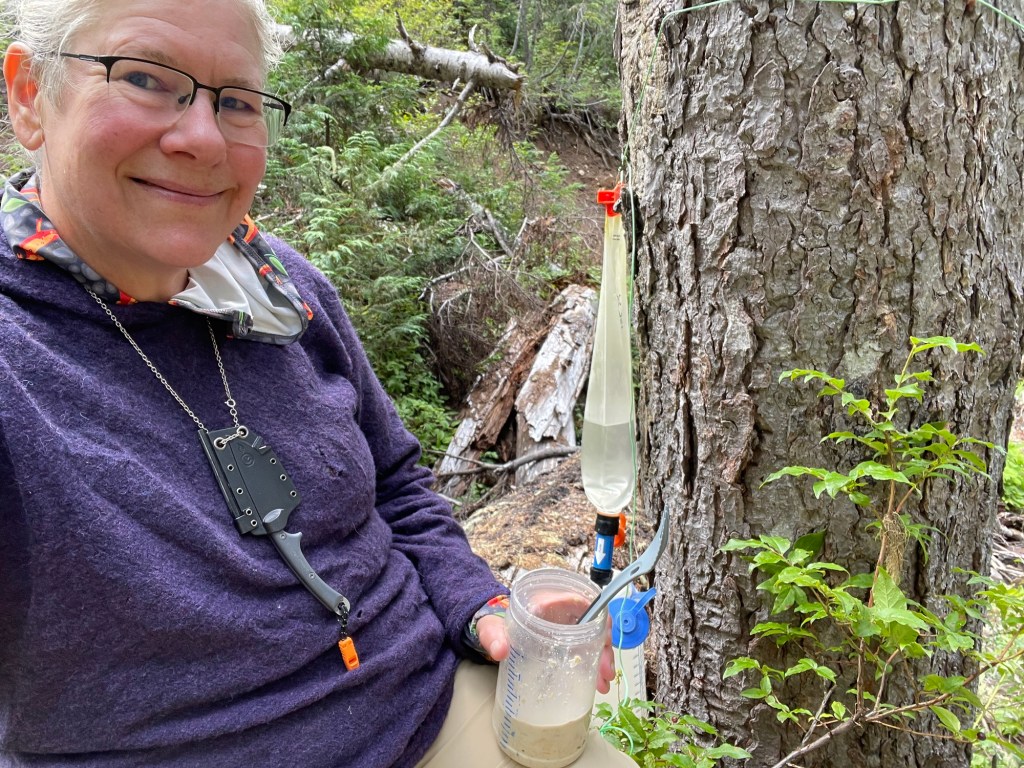
Day three started with a ‘quick’ hike back to get water. I filtered water while I ate breakfast & packed up camp, and I studied the map. I’ve read a lot about the Knife’s Edge & Old Snowy. I’m generally not bothered by heights, but I also knew that I was feeling a lot of fatigue I couldn’t explain. I’ve heard about how beautiful the Goat Rocks Wilderness is – PCT thru hikers frequently list it as their favorite part of Washington and one of the most beautiful areas along the entire trail – but the area ahead of me is wild, rugged, and nature doesn’t cut you a break just because you have good intentions. But my option was to keep heading north or to turn around and start hiking back to the truck. Turning around was very appealing, but I knew if I did that I’d have to come back and hike this section again anyway. Onward!
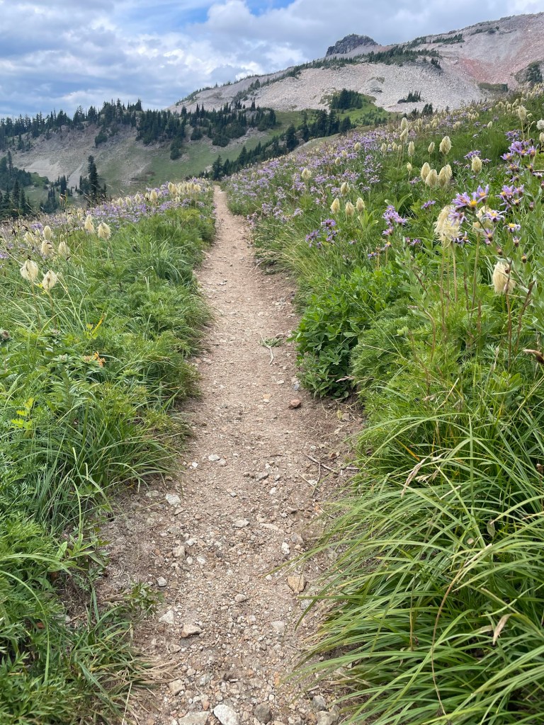
The first part of the day took me through Snowgrass Flat. It’s lovely. As a hammock camper, I envied the groundlings because there are numerous tent sites in this area but I only saw a couple of places it’d be possible to hang a hammock. And I kicked myself because there’s plenty of water along the trail — I could have saved myself the pre-hike hike to get water that morning.


Once through Snowgrass Flat, I met my first challenge of the day: a short, non-technical snowfield with a gentle slope & minimal run-out if I slipped. Easy, right? Um … sure, but this is *me* we’re talking about.
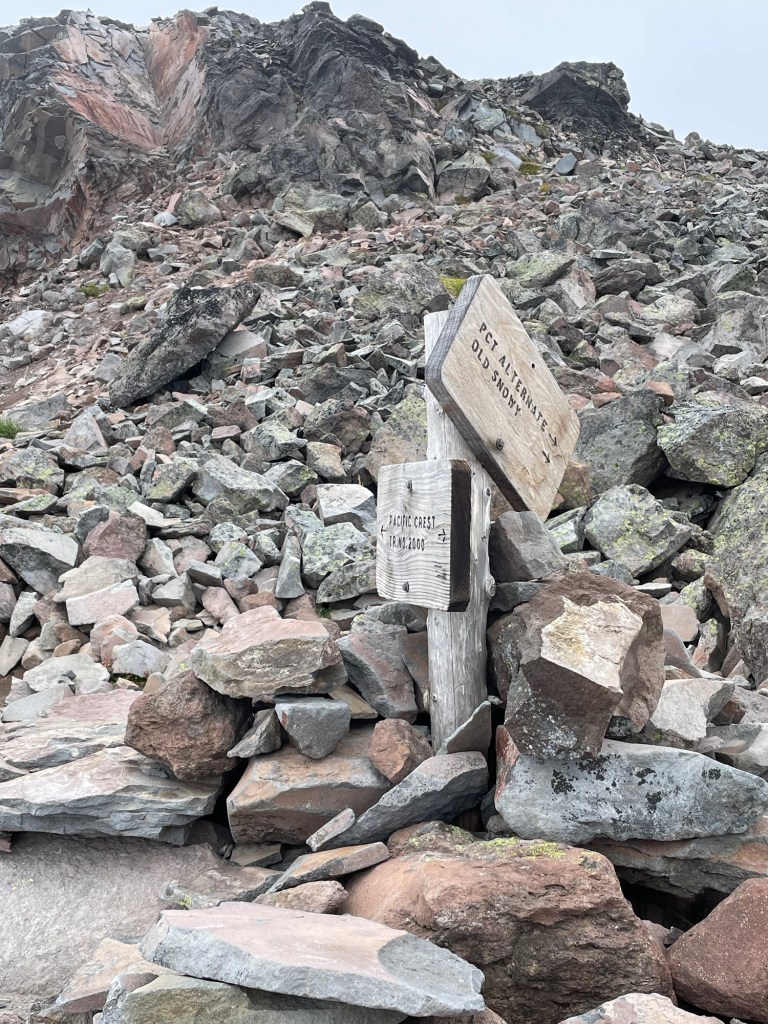
It was slow and a bit scary. I don’t know why I found it so difficult, but that short, non-challenging snowfield was very difficult for me. As I came to the end and stepped on to dirt, a SOBO hiker told me that given how much I struggled across the snowfield, she strongly recommended I take the Old Snowy Alternate instead of trying to cross the Packwood Glacier. I’d heard from another SOBO earlier that Old Snowy was socked in with fog, so she recommended taking the glacier route to avoid the elevation gain & loss that comes with the Old Snowy route. Had it not been for that person standing at the north end of the snowfield, I probably would have.
After some reflection, I came to the conclusion that the SOBO hiker who recommended I take the Old Snowy Alternate was an angel sent by God to stop me from trying to cross the glacier. Credit it to the elevation & exhaustion if you want, but that angel – whether divinely sent or not – likely saved me from a long, agonizing, emotionally distressing trek across that glacier during which I probably would have frozen with fear. The tread on my shoes was fairly worn, and my trekking poles are no substitute for an ice ax. Unlike the benign snowfield I had so much trouble crossing, the Packwood Glacier is on a steep slope, and it has hundreds of feet of run-out if one starts sliding and cannot do a self-arrest. Even now – four months later – I shudder at the thought of me trying to cross the glacier alone.
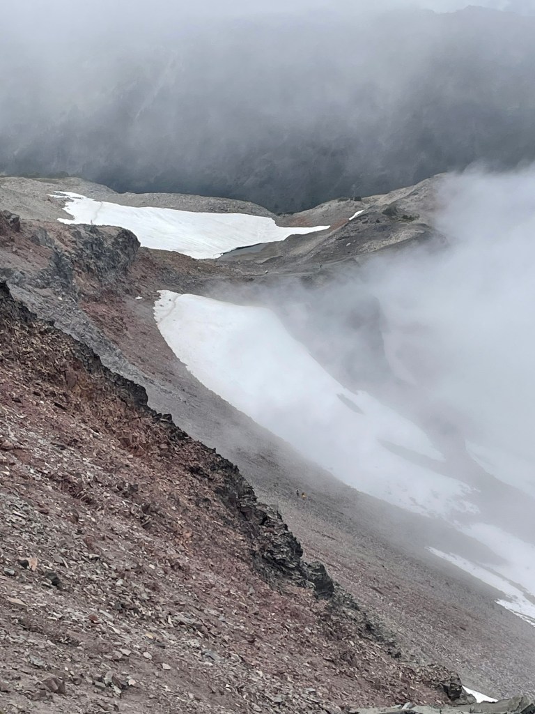
And so, up I go … The Old Snowy Alternate adds about 500′ of elevation gain and loss. This area is heralded for its views, but I was hiking it on a cold, blustery day during which many of the views were obscured by clouds. Given the lack of views, how slowly I was climbing, and how tired I was, I forewent the scramble up to the top of Old Snowy Mountain. It’s another 500′ of climbing, meaning the side trip would have taken me at least another two hours. Perhaps another time when both the weather and my physical condition are better.


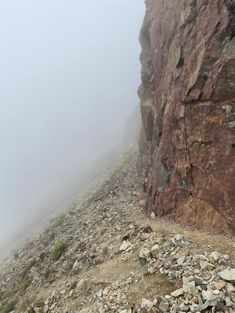
The angel who steered me toward the Old Snowy Alternate told me there was a sheltered area at the high point. I stopped there for lunch. The Knife’s Edge was the next challenge. Heights don’t generally bother me, but it was breezy & foggy, and I have limited depth perception. The depth perception issue can be a problem when the light is weak – such as at twilight or in fog. Yay.

The Knife’s Edge was more of a challenge than I expected. The trail is mostly chunks of basalt. In some places, it’s almost like going down stairs – if the stairs were made by piling flat-ish rocks on top of each other and not bothering with mortar. It’s not a 6″ wide tightrope; for the most part, there’s a rock edge along the side of the trail or there’s a gentle slope off to the side. In places, though, there’s a gap between the rock edge and it looked like there was absolutely nothing but a long drop-off. For me, the scariest moment came when I caught the edge of my shoe on something — I probably stepped on my own foot — and I stumbled. I’m grateful I was able to right myself. If I hadn’t, I would have face-planted into that hard basalt. That would have hurt more than just my pride.
Once off the Knife’s Edge I took a break at Elk Pass. This is another place I’m sure has glorious views but I visited it while it was largely shrouded in fog.

My break at Elk Pass was livened by the arrival of a SOBO. She was excited to see another hiker, and then disappointed to learn I was NOBO. She started at the Northern Terminus on what she believed was one of the last permit days. She said there were a total of 30 people with permits to start that day, but she thinks no one else started. She was feeling pretty lonely and was looking for someone to hike with. A lot of thru hikers talk about how important it is to them to find a tramily to hike with. I enjoy chatting with people I meet along the trail, but I’m not convinced I want to hike with other people every day. Perhaps I’ll understand more when I hike through Oregon next year.
We chatted for a while. I mentioned that I’d recently decided that I’ll hike the PCT through Oregon in 2025 to celebrate turning 60. She told me that she was on this hike to celebrate turning 60 as well. She planned to hike all of Washington and all or most of Oregon; she would need to leave the trail to return home by a certain date, but she’d hike until she had to quit. I thought it quite serendipitous that we’d meet – two strangers living on different continents, both intending to mark their 60th birthday on the Pacific Crest Trail.
After a bit we each resumed our treks. At this point, I planned to get as far as I could before dark. Much of the rest of the day was downhill, but downhill takes its own toll on the legs.

A few times I approached what I thought would be a good campsite only to find it occupied. Eventually, I made my way to Lutz Lake. I was very glad to find an open campsite as sunset was approaching and I was running out of options. I got my hammock up as quickly as I could and settled in. Night comes quickly in the backcountry, and it wasn’t long before I found myself huddled under a quilt to stay warm while I ate dinner. This was a long day that was as mentally & emotionally draining as it was physically demanding; I knew I wanted to get to sleep as quickly as possible.


The final day started well. When I went to the lake to gather water I saw a bee struggling in the water. I scooped her out with a stick and placed her on a log that was jutting out into the lake. She fell back in; I fished her out again and put her somewhere a little safer. I hung my water bag to let it start filtering while I got breakfast going. I checked on my bee friend a few minutes later and she wasn’t floundering about in the lake; she either managed to fly away or she was eaten by something else — I prefer to assume she survived.
My goal for the day was to get to White Pass. The Hubs was coming to pick me up; with the InReach, I can give him an ETA once I’ve got a good idea when I’ll get to my pick-up spot. White Pass is about 14 miles from where I camped. Roughly the first half is a long, slow climb, and then it was virtually all downhill.


From this point, the rest of the hike down to White Pass was largely unremarkable and my memory is blurred by time. The PCT skirts the ski area, and it’s a tempting detour. The descriptions of the relative ease and whether it saves the hiker any time or effort are mixed to say the least. I decided to stick with the path more-trod if for no other reason than my ride was picking me up at the trailhead; the ski area route would take me to the Kracker Barrel* store at the pass, and I didn’t want to have to walk on pavement to get back to the trailhead.
* If you find yourself traveling across White Pass, please stop at this store. These folks have near-unanimous praise from thru-hikers who stop here. The KB folks are friendly & accommodating. When a wildfire closed the highway east of the pass this past summer, the store stayed open because they knew thru-hikers rely on the store to pick up resupply parcels mailed to them, restock their food bags, recharge electronics, contact folks back home, et cetera. Electricity was cut off, so the KB ran a generator to keep the store open. I’ve no doubt they lost money because there was almost no vehicle traffic in the area – just hikers. But they love us as much as we love them. So if you’re passing by, please stop & spend some money. NB: this Kracker Barrel is not affiliated with the Cracker Barrel chain of restaurants.
I arrived at the trailhead after dark. The Hubs was in a celebratory mood; I started crying. I was miserable. I told him I felt like I’d just run a hundo. He was shocked; I admitted I’d not been candid about how I felt when I sent him messages. I didn’t see a reason to be honest as I didn’t want him to worry — there was nothing he could do to make it better, and I was willing to keep my misery to myself. I was exhausted and glad to be done.
At the time, I said I never wanted to hike through here again. Ever. As time passed, I’ve come to realize that I would like to go back to Snowgrass Flat, and I would like to see the Goat Rocks Wilderness when it’s not largely shrouded in clouds. I’d like to go back to Old Snowy & scramble to the top. I don’t want to hike the Knife’s Edge again. It sucked going NOBO, and found it hard to imagine how SOBOs can tell where the trail is in places.
I’ve hiked a bit more than half of the PCT through Washington State. What’s left now is everything north of Stevens Pass and the part between the southern end of the Mt Adams Wilderness and Sheep Lake, where I joined the PCT on this hike. One short loop I’ve mapped out will take me back up the Nannie Ridge trail, down the PCT for five miles, and then back to Walupt Lake (with an optional out & back that adds four miles). I’m looking forward to that loop as there were spots along the Nannie Ridge Trail I’d like to explore more. As I prepare my body for next August’s hike through Oregon, I hope to knock out a lot more miles on the PCT in Washington.
A few days after returning home, I had a follow up appointment with my doctor. As the nurse was checking me in, she asked how the fatigue was. I told her I’d just done a 29-mile hike. I’d expected it to take me 2-2 1/2 days, and it took me 3 1/2 days. I told her how wiped out I felt during the hike. After she left the room and before the doctor came in, I took a look at the elevation details for this hike. Holy crap. The entire hike was above 4000′, all but 2.5 miles were above 5000′, it topped out at about 7600′, and just about all of day 3 – the day I hiked over Old Snowy – was above 6000′. In that 29 miles, I gained about 7350′ in elevation. In contrast, Section J was 70 miles with about 15,000′ of elevation gain and loss. It has a lot of ups & downs – including some very big ups & downs – but none of it is over 6000′, and most of it is below 5000′; I did that hike over seven days, and I was in better physical condition at the time. When the doctor came in, I told him about how much the Walupt Lake to White Pass hike kicked my butt but given the elevation and coming into the hike with a few nights of little sleep I felt better about how hard the hike was. He concurred. It’s about 400′ above sea level where we live, and he’s also had the experience of being above 5000′ and trying to engage in physical activity. He’s very fit, and the elevation kicked his butt, too.
I have a lot of work to do to get my body ready for next August, but I’m also optimistic. I’m already telling myself I will hike as far as I can in the time I have available. As Second Chance says, “I didn’t come out here to die — I came out here to live!” Hiking day after day can be hard. There are days it’s miserable. But we just keep going because you can’t quit on a bad day, and the good days are so sweet it’s just too damned wonderful to quit.